Computational Archaeology
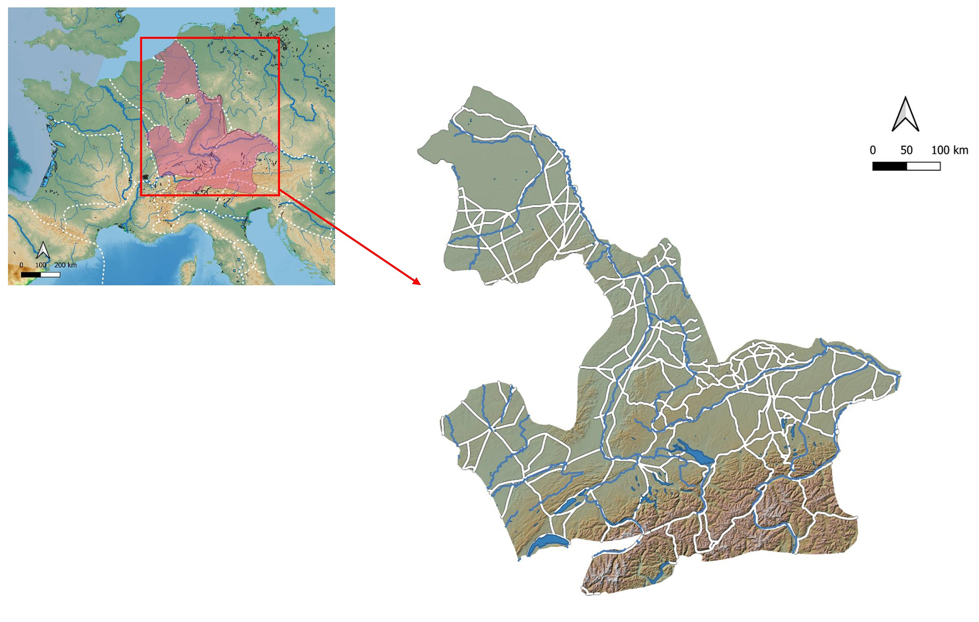
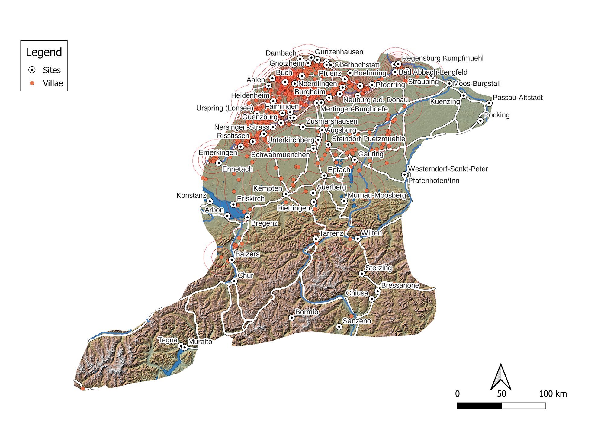
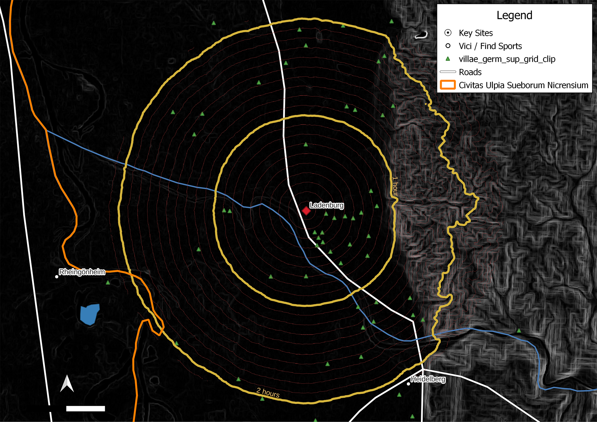
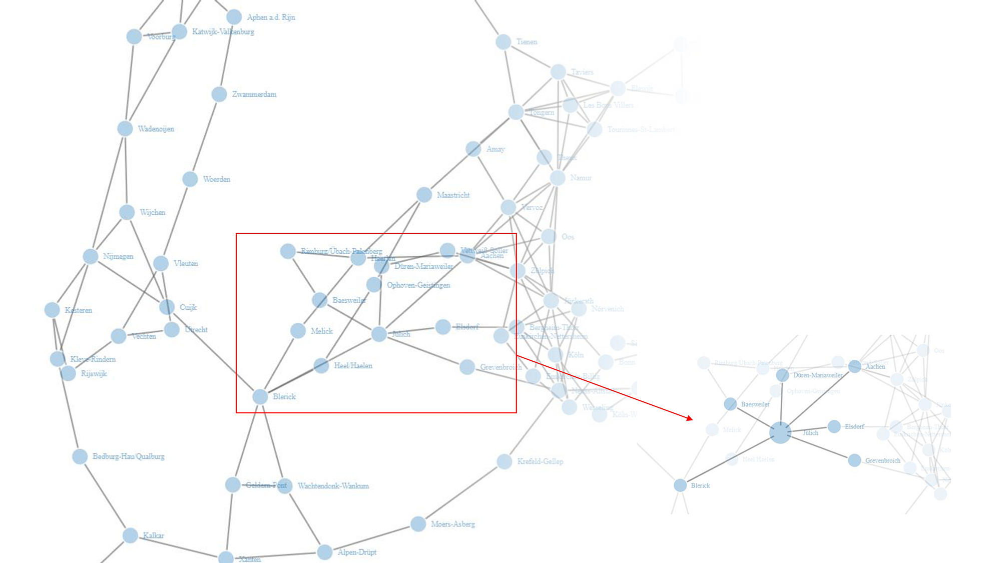
Team 2 (Computational Archaeology) is based at the Cologne Digital Archaeology Laboratory (CoDArchLab; Institute of Archaeology, University of Cologne). Within the framework of Meet&Greet project, Team 2 aims at investigating secondary agglomerations in the three North-Western Roman provinces of Germania Inferior, Germania Superior and Raetia using computational methods. Through the application of modelling approaches that were firstly developed in the fields of urban economics and complexity science, Team 2 seeks to explore the entangled sets of relations that make up the Roman settlement network. In particular, the main research focus lies on examining why and how public spaces such as Fora (and their associated public buildings) emerged, and the social and economic roles of these spaces and amenities.
This investigation is conducted using a multi-scalar approach, in order to piece together a fuller picture of Roman secondary agglomerations and the context within which their public spaces existed. At a first stage, we look into settlement networks at a supraregional (provincial) level, before scaling down our analysis to examine individual sites and the role of the public space within. In the case of well-documented and fully-excavated public spaces, there is an additional analytical scale at the intrasite level in order to explore the fora themselves.
Furthermore, Team 2 explores methodological synergies with Team 3 (Archaeological Sciences) in the areas of 3D documentation and visualization, as well as spatial analysis.